NTVLC-03 Tarwin River crossing (Apple Tree wetlands)
Link to Bird Life Australia Birdata Shared Site here
Survey type: 2ha, 20 minute search
Description
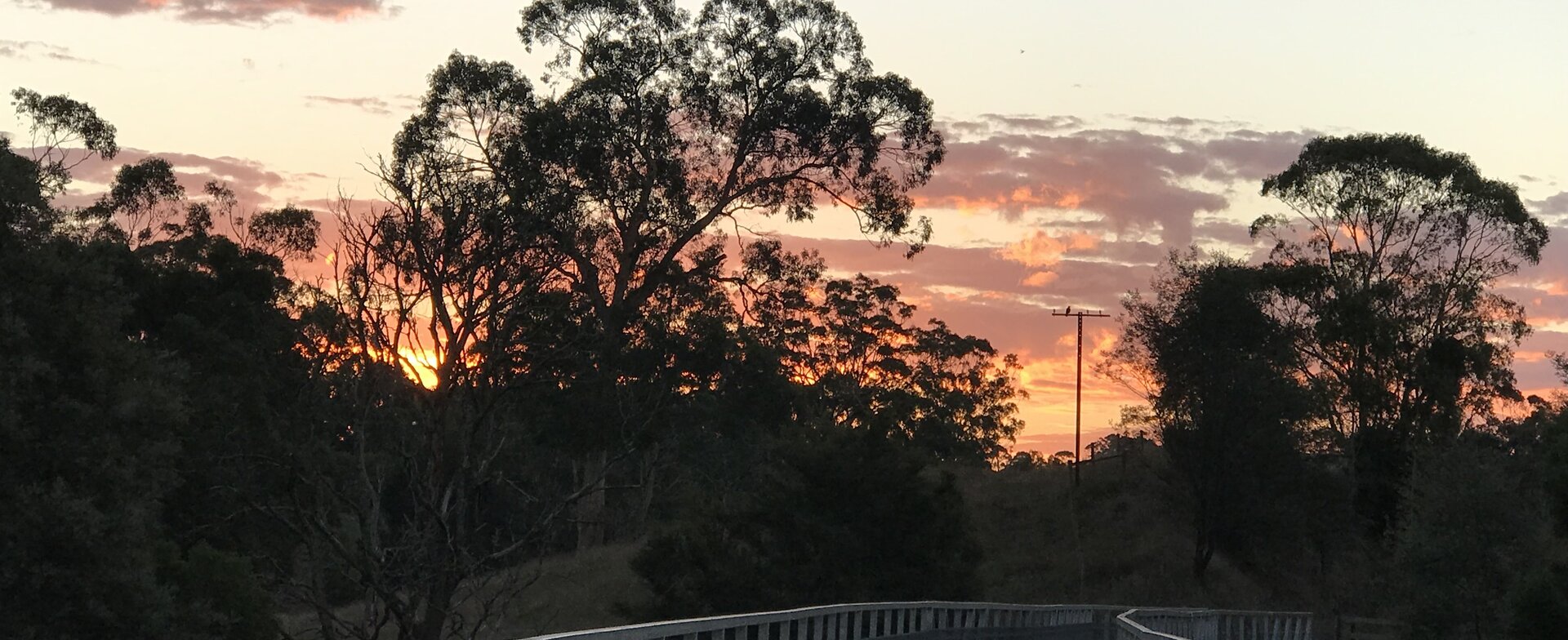
The monitoring site is a flood plain beside the Tarwin River. This site is currently extremely weedy, but the thick growth gives plenty of cover for birds. North of the rail trail the many standing dead trees give birds a perch and an opportunity to scan for prey and predators. This site is named for the venerable apple tree on the south east end of the river bridge. Possibly grown from an apple core thrown from the train many decades ago. The whole project area is not only an area of great environmental importance, but also rich in social history dating back many thousands of years ago.
Site Location
Tarwin River crossing (southern bridge – apple tree wetlands) is located south of Koonwarra. The site is accessed via the Great Southern Rail Trail. Either walk south down the rail trail from the Koonwarra township or the Recreation Reserve, or west from the Minns Road carpark.
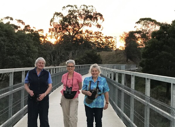
To get to the Recreation Reserve from Koonwarra, travel south on the South Gippsland Highway (A440) for 280 metres turn left then after 30 metres, right down Buckingham and Fowlers Road. The reserve is 225 metres on the left. Parking is available at the reserve and access to the rail trail is on the other side of Buckingham and Fowlers Road. The Tarwin River bridge is 1.5 kilometres along the rail trail. The monitoring site starts at the end of the cutting as you travel across the bridge over the Tarwin River. The monitoring site encompasses both sides of the rail trail for 180 metres. There is a yellow peg in the ground on the northern side of the rail trail at the end of the monitoring area (pictured). If approaching the site from the Minns Road Car park, enter the rail trail and travel 850 metres west towards Koonwarra until the site is reached.
The monitoring site begins 135 metres from the end of site NTVLC-02, travelling south. All distances are approximate. As you walk across the bridge, the vista on both sides of the rail trail gives good views of stretch of the Tarwin River. The northern boundary of the site is the far bank of the river. It is possible to observe the whole monitoring site from the bridge. The eastern boundary is a line from the yellow peg, north in a slightly curved line to the edge of the thick trees on the far bank of the river. To the south of the rail trail, the boundary is a line from the peg south west to the edge of the trees at the top of the road embankment. The southern boundary is the sight line along that embankment to the river (approx. 90 metres from the bridge) then across the pasture to the large gum tree on the edge of the river flats. The boundary is then a line north east to the northern end of the bridge.


Survey Method
20 Minute 2 Hectare search: walk along the bridge looking out over the wetland in both directions. Record the species present and the number of birds of each species.
Yellow peg beside the track.


Use the Birdata website or the Birdata phone app to record sightings. https://birdata.birdlife.org.a...
Acknowledgement of Traditional Owners and Country
The Nerrena/Tarwin Valley Landcare group acknowledges the Traditional Owners of the Landcare group area and pays respect to their past and present Elders. We honour and celebrate the spiritual, cultural and customary connections of Traditional Owners to country and the biodiversity that forms part of that country.
Contact us
Sue, Landcare group President
Phone 0432 379 119
Landcare group Secretary
Email: ntvlandcare@gmail.com
Mailing address:
105 Stockdales Road, Koonwarra 3954
Send us a message
