It’s exciting to see the Indigenous Designs crew (on behalf of the West Gippsland Catchment Management Authority) working at poisoning willows in the Black Spur Wetlands Confluence and the Apple Tree Wetlands. Great work ! And thanks to the WGCMA and to the Great Southern Rail Trail Committee for providing access.
It is also apparent that the GSRT Committee has had the blackberries sprayed. This complements the work on neighbouring private properties and provides a good base from which we can gradually implement our plan of replacing environmental weeds with indigenous vegetation.
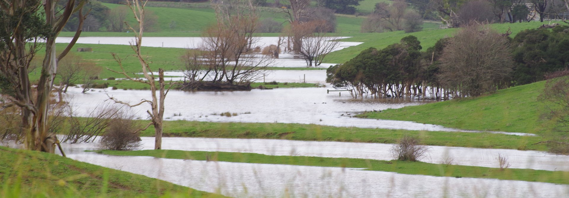
The trunks of the Strzelecki Gums have their late summer/autumn orange colouring, there are rusty seed pods on Sweet Bursaria, and Kangaroo Apple fruit are ripening. In the bush, Kangaroo Apple is a useful coloniser of bare areas, providing a temporary and open canopy. Less pleasing, I saw a mass of what I assume were European Carp in the river, more noticeable now that water levels are down.
The BSCW project has received attention in local papers (“The Star” 10/1/2017 page 40) and the Victorian Landcare and Catchment Management Magazine (Summer 2017 Issue 68 page 19).
For its work in developing the BSCW Plan, Nerrena Landcare Group has also been nominated as one of the best 25 projects in the West Gippsland Region and will be featured in a Green Carpet Showcase to celebrate 30 years of landcare.
Nerrena Landcare Group appreciates the commitment that South Gippsland Shire council, WGCMA, Department of Environment Land, Water and Planning, and VicRoads have made to support our project. We understand that a contractor for VicRoads will commence work on the South Gippsland Highway realignment in early to mid 2018 and subsequent offset requirements could complement and contribute to our plan for the wetlands. We look forward to meeting Vic Roads in the coming months to learn more and clarify how this will work.
In February about 23 members of the Australian Plant Society, South Gippsland, had a picnic and walk over the trestle bridges of the Rail Trail. One of our members, Graeme Rowe, wrote the article below on the BSCW area’s geomorphology.
Kate Walsh, Chair, Black Spur Creek Wetland Project for Nerrena Landcare Group
THE BLACKSPUR AND THEREABOUTS
By Graeme Rowe.
March 2017
The area from Koonwarra along the newly opened section of rail trail to the refurbished former railway trestle bridges over the Blackspur Creek and meanders of the Tarwin River West Branch is an area which can be of great interest. But first let’s put it into context.
An old river stream is characterised by a wide flat valley, a shallow gradient, meanders and is often subject to flooding. By contrast a new river valley has a narrow steep-sided V-shaped valley and a high gradient.
The Tarwin River West Branch exhibits both these characteristics at different stages of its length: The upstream section around Mount Worth and Hallston is typical new river valley formation, rejuvenated by recent uplift. The section from Berry’s Creek to north of Leongatha and on to Koonwarra, and the section (after the confluence with the East Branch) around Middle Tarwin to Tarwin Lower and on via meanders to enter Anderson Inlet at Venus Bay are typical old river valley formation. Between these two regions of old river valley lie the Blackspur Creek wetland and railway trestle bridges section. Remarkably this area
simultaneously exhibits the characteristics of both old and new river valleys, for there are meanders and flood plain within steeply sided valley walls.
So how has this apparent anomaly come about? The most likely explanation is that the general course of the Tarwin River West Branch predates the formation of the Koonwarra hills which were raised during the Kosciusko Uplift ‘only’ around 6 million to 4 million years ago. When a stream encounters a range of hills usually the stream flows along the base of the range of hills. What makes this area so unusual is that the Tarwin River West Branch actually flows through the hills, not along them. That means that the rate of uplift of the Koonwarra hills is less than the rate of downward river erosion. That is, the river erosion was able to keep pace with the uplifting of the Koonwarra hills. It’s a valuable insight into the comparatively slow rate at which this earth movement occurred.
The entire distance to the south of the South Gippsland Highway between Koonwarra and Meeniyan is bordered by another range of hills except for the narrow gap through which the combined branches of the Tarwin River flow immediately downstream of the Highway bridge. It seems likely that this is another case of downward erosion in a rejuvenated river section having kept pace with the upthrust of this range.
This is an intriguing region of local topography. But for people who have a state-wide interest in geomorphology the significance of this Blackspur Creek and railway trestle bridges area is far more than just local. Perhaps we should regard traversing of the South Gippsland Highway or the rail trail between Koonwarra and Meeniyan as witnessing a significant contribution to Victoria’s diverse range of landforms.